- Director
 Huanfeng Shen received the B.S. degree in Surveying and Mapping Engineering and the Ph.D. degree in Photogrammetry and Remote Sensing from Wuhan University, Wuhan, China, in 2002 and 2007, respectively.
He is currently a Distinguished Professor with Wuhan University, where he serves as an Associate Dean of the School of Resource and Environmental Sciences. His research interests include remote sensing image processing, multi-source data fusion, and intelligent environmental sensing. He was or is the PI of two projects supported by National Key Research and Development Program of China, and six projects supported by National Natural Science Foundation of China. He has authored or co-authored more than 150 journal citation report (JCR) papers (over 60 in IEEE journals) and published 4 books as Chief Editor. His papers received 6074 citations in Web of Science (WoS) (as of February 2020).
Dr. Shen is a Senior Member of IEEE, a Fellow of IET, a Member of the Education Committee of the Chinese Society for Geodesy Photogrammetry and Cartography, and a Member of the Theory Committee of the Chinese Society for Geospatial Information Society. He is currently a Senior Regional Editor of Journal of Applied Remote Sensing, Associate Editor of Geography and Geo-Information Science and Journal of Remote Sensing. He was a recipient of the First Prize in the Natural Science Award of Hubei Province, China, in 2011, the First Prize in Nature Scientific Award of China’s Ministry of Education in 2015, and the First Prize in Scientific and Technological Progress Award of the Chinese Society for Geodesy Photogrammetry and Cartography in 2017.
- Members
 Qiangqiang Yuan received the B.S. degree in Surveying and Mapping Engineering and the Ph.D. degree in Photogrammetry and Remote Sensing from Wuhan University, Wuhan, China, in 2006 and 2012, respectively. He joined the School of Geodesy and Geomatics, Wuhan University, in 2012, where he is currently a Professor. His current research interests include image reconstruction, remote sensing image processing and application, and data fusion. He has published more than 30 research papers, including more than 20 peer-reviewed articles in international journals such as IEEE TIP and IEEE TGRS. He has frequently served as a referee for more than 10 international journals in remote sensing and image processing. In 2014, he received the Hong Kong Scholar Award from the Society of Hong Kong Scholars and the China National Postdoctoral Council.
 Huifang Li is currently an Associate Professor and master tutor with the School of Resource and Environmental Sciences. She received the Ph.D. degree in Photogrammetry and Remote Sensing from Wuhan University, Wuhan, China, in 2013. She focuses on research into the quality improvement of remote sensing images. She has been supported by the National Natural Science Foundation of China and the Postdoctoral Foundation. She has published more than 10 papers in international/national journals and conference proceedings. Her paper was rewarded Best Scientific Remote Sensing paper by the American Society for Photogrammetry and Remote Sensing in 2013.
 Qing Cheng received the B.S. degree in the geographic information system and the Ph.D. degree in photogrammetry and remote sensing from Wuhan University, Wuhan, China, in 2010 and 2015, respectively. She is currently an Research Professor with the School of Computer Science, China University of Geosciences, Wuhan, China. Her research interests include remote sensing data reconstruction, data fusion, and urban remote sensing. She has published more than 30 SCI papers in international authoritative journals in the field of remote sensing, including 2 highly cited ESI papers.She published an academic book, a textbook. She has presided over the National Natural Science Foundation of China, the Natural Science Foundation of Hubei Province, etc., and she also participated in the national key research and development plan.She participated in the first prize of scientific and technological progress in surveying and mapping.
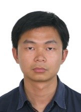 Chao Zeng received the B.S. degree in Resources-Environment and Urban-Rural Planning Management, the M.S. degree in surveying and mapping engineering and the Ph.D. degree in photogrammetry and remote sensing from Wuhan University, Wuhan, China, in 2009, 2011 and 2014, respectively. He was a postdoctoral researcher in the Department of Hydraulic Engineering, Tsinghua University, Beijing, China. Currently he is with the School of Resources and Enviromental Science, Wuhan University. His current research interests focus on remote sensing image processing and hydrological remote sensing applications.
 Xinghua Li received the B.S. degree in geographical information system and the Ph.D. degree in cartography and geographical information engineering from Wuhan University, China, in 2011 and 2016, respectively. In July 2016, he joined the School of Remote Sensing and Information Engineering, Wuhan University, as an Associate Professor. He is the PI of one National Natural Science Foundation of China (NSFC) project and two subprojects of National Key R&D Program of China. He has published more than 40 research papers. His current research interests focus on multitemporal remote sensing analysis and application, remote sensing image processing, deep learning, and sparse representation. He is currently a Guest Editor of JARS, RS and a member of the Editorial Board of other three journals. He has served as a reviewer for more than 60 SCI-indexed journals, such as IEEE GRSM, IEEE TGRS, IEEE TIP, IEEE TCSVT, IEEE JSTARS, RSE, IJRS, and JARS, etc.

Jie Li received the B.S. degree in sciences and techniques of remote sensing and the Ph.D. degree in Photogrammetry and remote sensing from Wuhan University, Wuhan, China, in 2011 and 2016, respectively. He is currently an Associate Professor with the School of Geodesy and Geomatics, Wuhan University. His research interests include image quality improvement, image super-resolution reconstruction, data fusion, remote sensing image processing, sparse representation, and deep learning.
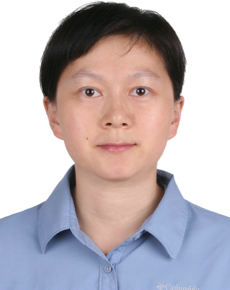 Wenli Huang received the B.S. degree in Geographic Information System (Computer Cartography) from Wuhan University, Wuhan, China in 2006, the M.S. degree in Cartography and Geographic Information System from the Beijing Normal University, Beijing, China in 2009, and the Ph.D. degree in Geographical Sciences from the University of Maryland, MD, USA in 2015. From 2015 to 2018, she was a post-doctoral Research Associate with the Geographical Sciences at the University of Maryland. Since 2019, she has been an Associate Research Professor with the School of Resource and Environmental Sciences at Wuhan University. Her current areas of interest include mapping of land cover and land use, forest canopy structures, and aboveground biomass through remote sensing. She is a Member of the IEEE. She is currently a Topic Board Member of the Remote Sensing, and a reviewer for more than 10 international academic journals.
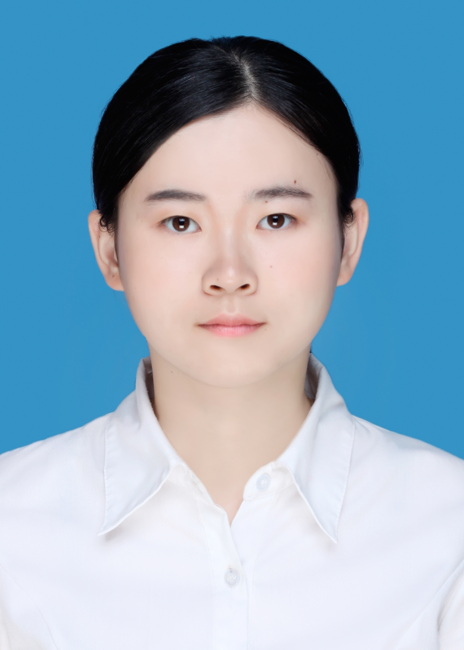
Yue Linwei received the B.S. degree in geographic information system and the Ph. D. degree in photogrammetry and remote sensing from Wuhan University, Wuhan, China, in 2012 and 2017, respectively. She is currently an associate professor with the School of Geography and Information Engineering, China University of Geosciences from 2017. Her research interests include multi-source remote sensing data fusion and hydrological applications.

Xiaobin Guan received the B.S. degree and the Ph.D. degree in geographical information system from the School of Resource and Environmental Sciences, Wuhan University, China, in 2013 and 2018, respectively. He is currently a postdoctoral research assistant with the School of Resource and Environmental Sciences, Wuhan University. He has worked as a visiting postdoctoral fellow at the University of Toronto during 2020 and 2021. He has published more than 10 papers in international/national journals and conference proceedings. His research interests include vegetation remote sensing, ecosystem carbon cycle, and time-series data reconstruction.
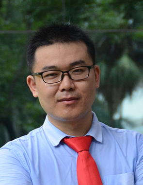
Peng Dou is currently a Postdoctoral Researcher with the School of Resource and Environmental Sciences, Wuhan University. He received the Ph.D. degree in Cartography and Geography Information System from Sun Yat-Sen University, Guangzhou, China, in 2018. He has been supported by the National Natural Science Foundation of China, Chinese Postdoctoral Science Foundation and Hubei Postdoctoral Innovation Research Foundation. His research interests include remote sensing image classification and automatic processing of land use information.
 Zhiwei Li is currently an Assistant Researcher with the School of Resource and Environmental Sciences, Wuhan University. He received the Ph.D. degree in Cartography and Geographic Information Engineering from Wuhan University, Wuhan, China, in 2020. His research interests include spatial-temporal seamless reconstruction of remote sensing data, land cover classification and change analysis. He is the PI of one project of National Natural Science Foundation of China (NSFC) and two projects of China Postdoctoral Science Foundation. He has published more than 10 papers in international journals, such as RSE, ISPRS P&RS, and IEEE JSTARS, among which two papers are selected as ESI Highly Cited Papers (top 1%). He has served as a reviewer for multiple SCI-indexed journals, such as ISPRS P&RS, IEEE TGRS, IEEE GRSL, and IEEE JSTARS, etc.
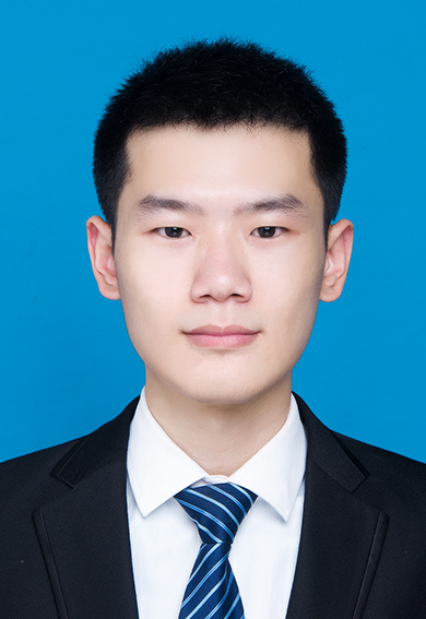
Liupeng Lin received the B.S. degree and the Ph.D. degree in Cartography and Geographic Information Engineering from Wuhan University, Wuhan, China, in 2017 and 2022, respectively. He is currently postdoctoral researcher with the School of Resource and Environmental Sciences, Wuhan University. His research interests include SAR image quality improvement, multi-source data fusion, and remote sensing products downscaling.

Menghui Jiang received the B.S. degree in geographical science and the Ph.D. degree in cartography and geographic information engineering from Wuhan University, Wuhan, China, in 2017 and 2022, respectively. Currently, she is a postdoctoral researcher in the School of Resources and Environmental Sciences, Wuhan University. Her research interests include data fusion, quality improvement, remote sensing image processing, and deep learning.
